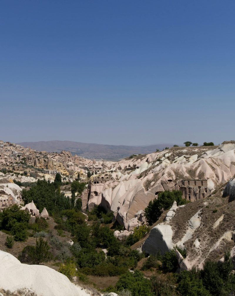
Along the southwestern coast of Turkey lies a coastal landscape where archaeology and geography merge into a single experience. Kekova is not simply a place to swim or relax; it is a maritime archaeological zone shaped by earthquakes, trade networks and changing coastal settlements for over two millennia.
Unlike many Mediterranean destinations, Kekova has remained largely protected from intensive construction. This preservation allows visitors to observe a historical coastline rather than a reconstructed heritage site.
This guide explains the historical background, spatial structure of the region and how to understand the site beyond a standard boat excursion.
Understanding Kekova as a Region
Kekova is often mistaken for a single island or village.
In reality, it is a protected cultural landscape composed of multiple connected locations:
Kekova Island
The Sunken City shoreline
Tersane Bay
Üçağız village (ancient Teimiussa)
Kaleköy (ancient Simena)
The area functioned historically as a small maritime network rather than an isolated settlement. Harbors, watchpoints and agricultural terraces worked together to support coastal trade.

Historical Background
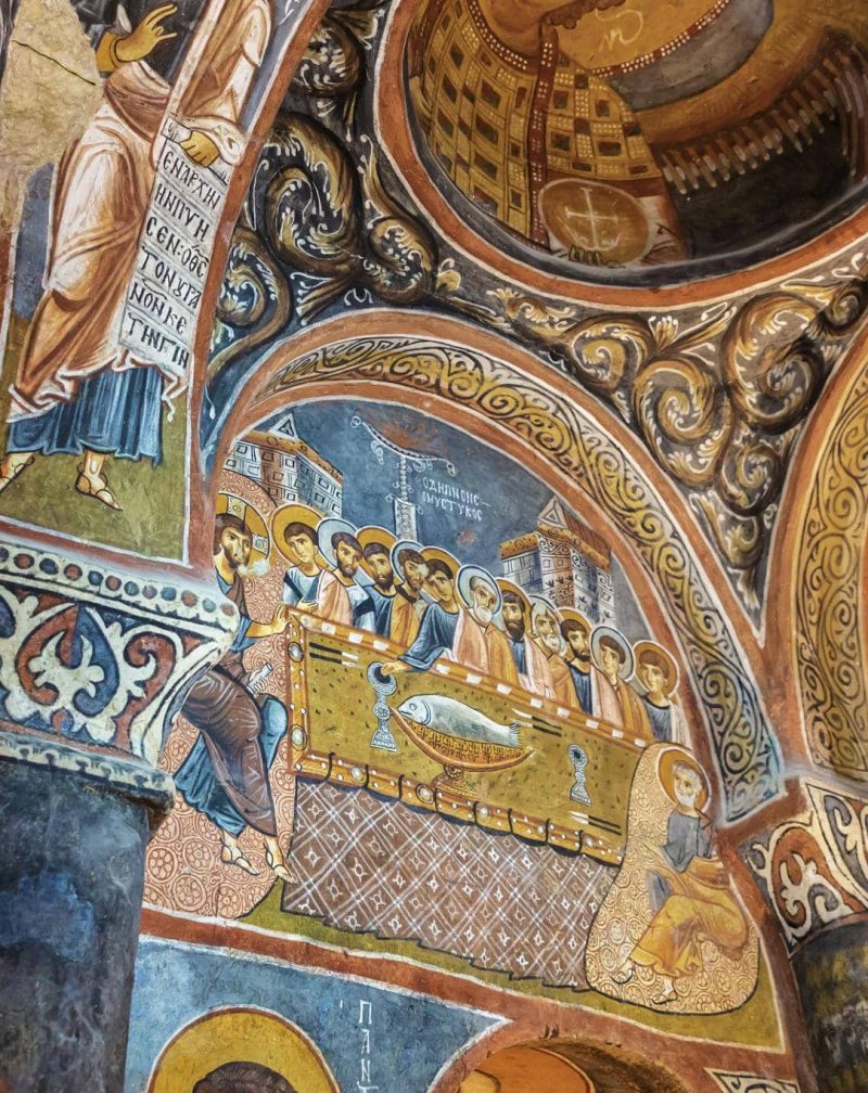
The earliest settlements in the region date to the Lycian period (around 4th century BC). The Lycians were skilled sailors who established small harbor communities along sheltered coves.
During Roman rule, the settlements expanded and maritime trade intensified. Storage rooms, quays and housing complexes were constructed along the shoreline.
Between the 2nd and 7th centuries AD, seismic activity caused parts of the coast to subside. Buildings closest to the waterline partially collapsed into the sea. Instead of being abandoned, some areas continued to be used, leaving a layered archaeological record both above and below water.
This gradual sinking created what is now known as the Sunken City.

The Sunken City: What You Actually See
Visitors often expect ruins deep underwater, but Kekova is different.
The structures lie just below the surface and are visible directly from the boat.
You can observe:
Staircases descending into water
Doorways at sea level
Harbor walls
Foundations of houses
Storage chambers carved into rock
Swimming above these remains is prohibited because the site is considered an active archaeological area rather than a museum reconstruction.

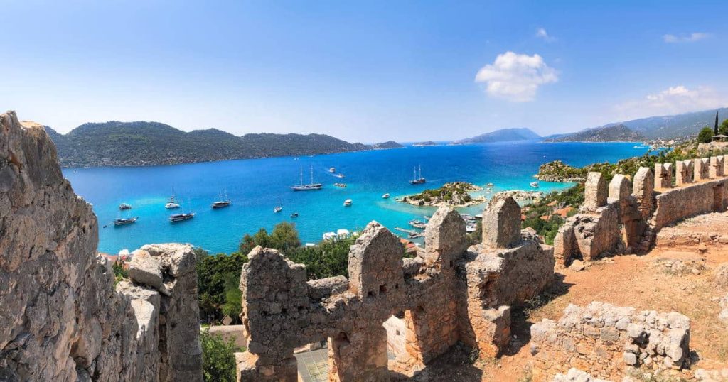
Kaleköy (Ancient Simena)
Kaleköy is accessible only by sea and has preserved its village character due to road restrictions.
At the top of the hill stands a medieval fortress built using earlier Lycian stone blocks. Inside the castle is one of the smallest known ancient theaters, adapted to the terrain rather than carved as a monumental structure.
The location functioned historically as a watchpoint controlling maritime movement through the narrow channel.

Tersane
Tersane Bay contains remains of Byzantine and Roman coastal buildings.
Unlike the Sunken City zone, swimming is permitted here because the ruins are not as fragile.
The bay also illustrates how harbors shifted after seismic changes altered the coastline.

Why Boats Are Essential
There is no continuous coastal road around the island.
Historically and today, access to most locations depends on maritime routes.
The boat trip therefore replicates the historical way the region was experienced — moving between small harbor communities rather than walking through a single city.

Departure Points Explained
Üçağız
Closest to archaeological zones
Shortest navigation time
Most historically accurate starting point
Demre
Balanced option between accessibility and distance
Kaş
Longer scenic navigation
More suitable for full-day excursions

Interpreting the Landscape
Kekova should not be understood as a ruined city but as a maritime corridor.
The settlements functioned collectively:
agriculture inland
storage on coast
watchpoints on hills
transport by sea
The visible ruins represent infrastructure supporting a regional network rather than a single urban center.

Best Visiting Strategy
Morning: calm water for observing ruins
Midday: highest underwater visibility
Late afternoon: best topography light
Half-day trips provide sufficient interpretive time without fatigue.

Common Misconceptions
Kekova is not a swimming destination only
The Sunken City is not underwater diving ruins
Kaleköy is not a reconstructed heritage village
The region is a landscape, not a monument
Understanding this changes the experience completely.

Final Thoughts
Kekova offers insight into how ancient coastal societies adapted to environmental change. Instead of abandoning the region after earthquakes, communities reorganized harbors and settlement patterns.
Today, visitors travel through the same maritime geography, observing a cultural landscape shaped by both nature and human response over centuries.